


In a rural area of northern West Virginia lies a small hidden gem that will enamor the waterfall enthusiast, fans of rock formations and those who love hiking for an afternoon of beauty and splendor.

Barbour County is home to a multitude of unique towns, the largest of which is Phillippi. Just a few miles to the southwest of this town is a small state park nestled on the county border with Upshur County.
Audra State Park is relatively small compared to other state parks in the state at 355 acres, but it is packed with beautiful scenery and a lovely river that will make for a great afternoon outside. The park is named after the small town nearby, Audra. According to West Virginia State Parks, the area was the site of a logging operation that was owned by the B&O Railroad but was later turned into Barbour County’s 4-H Club camp. The park became open to the public in 1950. Additional land was purchased in 1960 for the park.
The river is a beauty! In fact, there are MANY whitewater rapids on it, particularly on from Audra State Park and downstream:
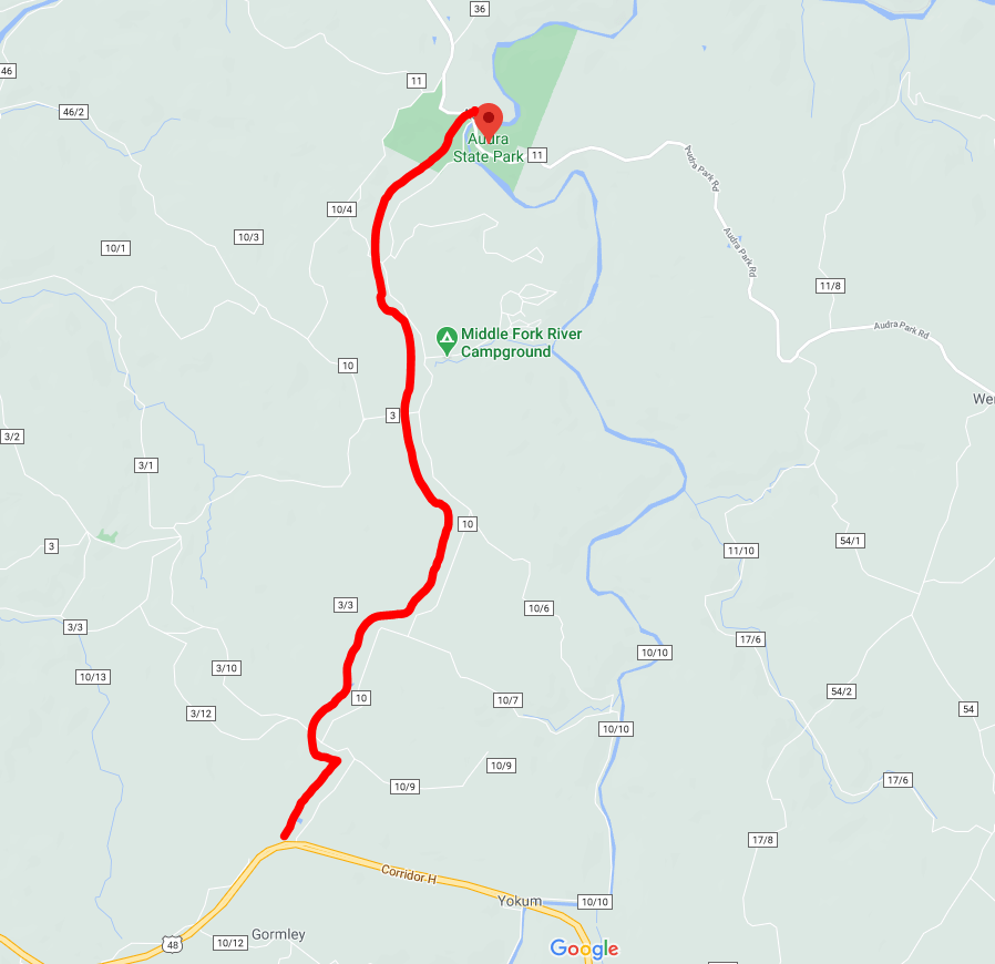
To access Audra State Park, I turned off of US-33 and turned onto Mount Nebo Road. Drive that road for 0.6 miles and then turn left again for Handy Camp/Mount Nebo Road in a quarter of a mile.
Once you make that turn, you’ll stay on Handy Camp Road for a mile before turning left on Route 10. You’ll stay on Route 10, which turns into Route 3. The road is nice and smooth but it does narrow a bit right before you get to the entrance for Audra State Park via Audra Park Road off the right. Once you cross that bridge, you’re at the park!
I saw some photos from last fall of some beautiful short cascades along the Middle Fork River that bisects the park, as well as images of interesting rock formations. These photos inspired me and my good pal, Hal, to see what the park had to offer.
The park is located around a couple of nooks of the Middle Fork River. This 35-mile long river begins in Randolph County as the confluence of Birch Fork and Kittle Creek in Randolph County. The river flows north, a rarity, and empties into the Tygart Valley River in Barbour County just downstream from Audra State Park.
There is one large trail that covers the majority of the park and another much smaller one by the camping area. The main trail is known as the Alum Cave Trail and is a nearly 3 mile loop that follows the Middle Fork River for a little over a mile before jutting uphill to the mountain above. The Rock Cliff Trail is a much smaller trail that is located just west of the Camping Area.


I took a hike on the Alum Cave Trail, which has some nice scenic views of the Middle Fork River! Though there are no official waterfalls along this stretch of the river, there are several nice small drops that could easily be classified as one, such as the images below.


Less than a half mile up the Alum Cave Trail, the trail splits briefly. If you keep on the high side, you’ll hike above the river level for a bit, while the low end stays by the river. This split is less than a quarter of a mile – but it’s important: you’ll want to do the lower split!
The reason for this split is that the lower end takes you along and under a huge rock face that faces the Middle Fork River, while the upper end keeps you above the rock race.
A beautiful boardwalk has been built so that you can get up and close to the rock face. It is pet friendly, so you can bring the furry companions along with you, too!


There are a couple of really nice features of this trail and the park, in general. First, the trails are well-kept in my opinion. They are kid and pet friendly and though the back side of the Alum Cave Trail juts uphill about 300 feet, it is doable for anyone who is not in poor health.
Secondly, the Middle Fork River is gorgeous! According to the West Virginia Department of Environmental Protection, about 94 percent of the river’s watershed is forested and only about 4 percent is used for agriculture – it is a VERY clean watershed.
This time of the year, the water is clear with a blue shimmer. You can really see the beauty of this watershed and there are small footpaths that hang off of the Alum Cave Trail that allow you to go right to river level for a nice lunch view.


Once you’re about 1.5 miles out on the trail, it will make an abrupt right – this is when you leave the river and head uphill. The trail will climb about 300 feet over the next mile and you’ll get a nice sweat but it’s not exhausting. The trail will come out at a picnic area along a paved circle parking lot. Walk to the right and the pavement will come out back on Audra Park Road. Head to the right again and after about a 1/4 mile, you’ll be right back where you parked!
Enjoy this wonderful park that West Virginia has to offer. There is nothing superbly flashy about this small state park but it is beautiful and will certainly allow you to relax while getting out and enjoying the outdoors.
